Narragansett
A popular vacation destination for visitors from all over New England.
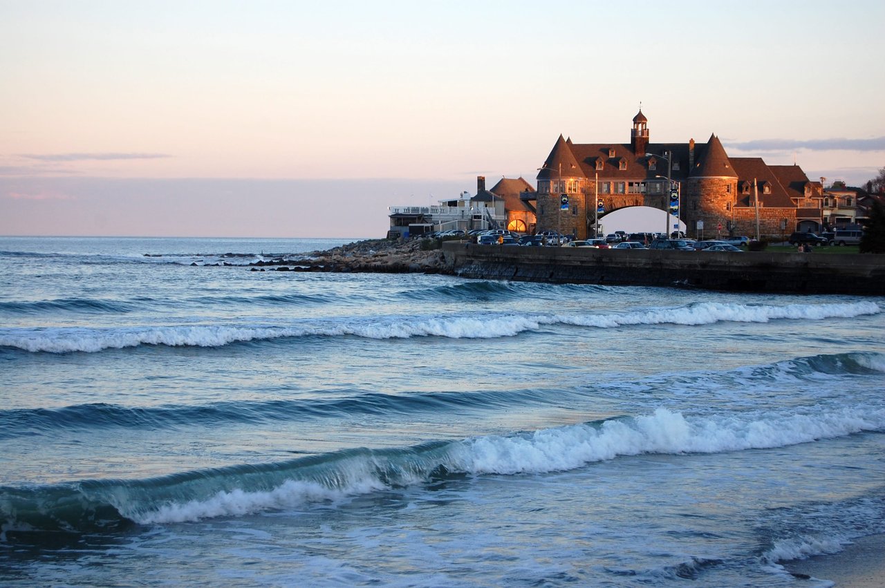
A popular vacation destination for visitors from all over New England.
14,540 people live in Narragansett, where the median age is 46.2 and the average individual income is $50,235. Data provided by the U.S. Census Bureau.
Total Population
Median Age
Population Density Population Density This is the number of people per square mile in a neighborhood.
Average individual Income
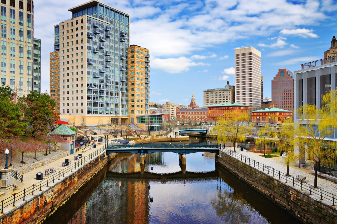
Narragansett is a premier coastal town in Washington County, Rhode Island, with median single-family home prices hovering around $685,000 and luxury oceanfront estates exceeding 1.8 million dollars. Located in ZIP codes 02882 and 02874 along Route 1A and US 1, Narragansett features iconic oceanfront landmarks like The Towers, miles of public access at Narragansett Town Beach, and direct ferry service to Block Island from Galilee.
Are you looking for year-round coastal living or a high-yield seasonal investment in Narragansett?
Contact Edge Realty International for off-market coastal opportunities and seasonal rental analysis.
Metric | Narragansett Factual Metric |
|---|---|
Primary Location & ZIP Codes | Narragansett, Washington County, RI (02882, 02874) |
Median Single-Family Price | $685,000 |
Average Price Per Sq. Ft. | $435 |
School District Zoning | Narragansett School District (K-12) |
Key Highways & Transit | US 1, RI 1A, RI 108, Kingston Amtrak Station (10 min) |
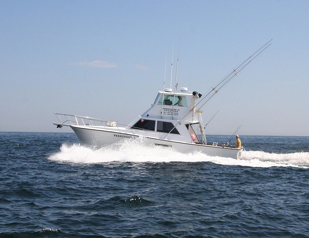
Anchored by the iconic The Towers on Ocean Road and miles of Atlantic shoreline, Narragansett is a classic New England beach town with year-round appeal. Located in Washington County, Rhode Island, Narragansett delivers miles of coastline where families, retirees, and young professionals flock for recreation and relaxation. Summers bring surfing, sailing, and beach days at Narragansett Town Beach, Scarborough State Beach, Salty Brine State Beach, and Roger Wheeler State Beach. The rest of the year leans into coastal walks along Black Point Trail, commercial fishing out of Point Judith harbor in Galilee, and dining in Narragansett Pier Village. With quick links to the University of Rhode Island in Kingston and Providence real estate markets, the town blends vacation ambience with practical connectivity.
Narragansett occupies a narrow strip between the Pettaquamscutt (Narrow) River and Narragansett Bay/the Atlantic, with waterfront neighborhoods stretching south toward Point Judith. Major corridors include US 1, scenic RI 1A (Boston Neck Road and Ocean Road), and RI 108 (Point Judith Road), placing beaches, marinas, and village amenities minutes apart. The market skews to single-family homes and coastal cottages, with strong seasonal demand and enduring second-home interest.
Narragansett lines Rhode Island’s southern coast with easy access to beaches, marinas, and village amenities. US 1, scenic RI 1A (Boston Neck Road and Ocean Road), and RI 108 (Point Judith Road) tie neighborhoods together, while nearby RI 138 connects to the University of Rhode Island in Kingston, Jamestown, and Watch Hill luxury homes in Westerly.
Mobility is primarily by car. Seasonal shuttles and Rhode Island Public Transit Authority bus service link key areas, and the Block Island Ferry departs from Galilee in Point Judith. Walking and biking are popular along the waterfront and village streets.
Connectivity & Transportation details for Narragansett, RI | |
|---|---|
Location Map & Overview | Coastal town along the Atlantic and Narragansett Bay with neighborhoods from Bonnet Shores to Point Judith. Minutes to beaches, marinas, village dining, and URI via RI 138. |
Nearby Areas & Communities |
|
Attractions & Points of Interest |
|
Public Transport & Rail |
|
Road Access & Highways |
|
Airport Access |
|
Narragansett real estate consists of beachfront cottages, single-family residential subdivisions, student rentals near URI, and multi-million dollar oceanfront estates. The town’s median single-family sales price is approximately $685,000 with a median price per square foot of $435. Market demand remains elevated due to finite coastal land supply in Washington County and robust interest from primary home buyers and second-home investors.
Property Type | Median Price (USD) | Price per Sq. Ft. | Average Monthly Rent | Est. Rental Yield |
|---|---|---|---|---|
2BR Condo / Townhome | $525,000 | $435 | $2,300 | 5.2% |
3BR Single-Family Home | $725,000 | $435 | $3,000 | 5.0% |
4BR Single-Family Home | $975,000 | $435 | $3,900 | 4.8% |
Luxury Waterfront / Estates | $1,800,000+ | $500+ | $5,500+ | 4.0% |
Source: Data compiled from Rhode Island Statewide Multiple Listing Service (MLS) reports and Washington County property tax records.

Life in Narragansett blends classic New England seaside charm with year-round vitality. Anchored by The Towers and Town Beach, the community offers surfing, sailing, fishing out of Point Judith, and access to the University of Rhode Island just inland. Seasonal energy peaks in summer, while off-season brings quieter coastal living, local dining, and a tight-knit community spirit.
Southern Rhode Island, bordered by the Atlantic, Narragansett Bay, and Pettaquamscutt River. Easy access to US 1, RI 1A, and RI 108; 35 minutes to Providence via RI 4 and I-95.
A mix of year-round families, university-linked renters, and seasonal visitors. Neighborhoods range from Bonnet Shores and Scarborough to Great Island and Point Judith fishing village.
Seafood shacks in Galilee, surfside cafes, and classic New England spots along Ocean Road and Narragansett Pier. Summer draws include clam shacks, lobster rolls, and waterfront dining.
Primarily single-family homes and coastal cottages, with limited condo supply. Strong demand for waterfront properties; rental activity peaks near URI and public beaches.
Surfing at Town Beach, fishing at Point Judith, boating in the bay, hiking Black Point trails, and beachgoing at Scarborough, Roger Wheeler, and Salty Brine State Beaches.
14,532 year-round residents per the U.S. Census Bureau. Summer population routinely doubles with seasonal residents and vacation guests.
Narragansett offers everyday essentials and services close to home, from healthcare facilities and grocery hubs to pet care and recreation centers.
Access to full-service hospitals, urgent care centers, and specialized medical groups within 10 to 15 minutes.
Everyday groceries, village specialty markets, and commercial retail plazas lie within a 5-to-10 minute drive.
Fitness centers, surf schools, and regional athletic facilities serve active coastal residents year-round.
Local veterinary practices and pet support options serve pet owners throughout South County.
Families moving to Narragansett are zoned for the Narragansett School District. The public district operates Narragansett Elementary School, Narragansett Pier Middle School, and Narragansett High School. Nearby higher education is anchored by the University of Rhode Island in Kingston, located 10 minutes to the northwest.
Disclaimer: School attendance boundaries and program availability are subject to change. Buyers should independently verify zoning and enrollment requirements directly with the Narragansett School District prior to purchasing property.
School Name | Category | Location | GreatSchools Rating / Details |
|---|---|---|---|
Narragansett Elementary School | Public (K–4) | 55 Mumford Rd, Narragansett, RI | Rated 8/10; focuses on early childhood literacy and STEM foundations. |
Narragansett Pier Middle School | Public (5–8) | 235 S Pier Rd, Narragansett, RI | Rated 7/10; comprehensive interscholastic sports and music programs. |
Narragansett High School | Public (9–12) | 245 S Pier Rd, Narragansett, RI | Rated 7/10; home of the Mariners, offering AP coursework and CTE tracks. |
The Prout School | Private Catholic (9–12) | 4640 Tower Hill Rd, Wakefield, RI | College preparatory curriculum with International Baccalaureate (IB) program. |
University of Rhode Island (URI) | Public University | 45 Upper College Rd, Kingston, RI | Major research institution; provides dual-enrollment for high school students. |
Narragansett offers real estate opportunities across long-term residential holdings, seasonal vacation rentals, and value-add coastal renovations. High summer tourist traffic at town and state beaches, paired with URI student housing demand from September through May, supports rental performance across all four seasons.
Narragansett Coastal Real Estate Authority
Edge Realty International is a premier luxury real estate brokerage licensed by the Rhode Island Department of Business Regulation (DBR). Our team has facilitated multi-million dollar transactions across Washington County, specializing in coastal acquisition, short-term rental compliance, and waterfront valuation strategy.
For personal market consultation or detailed asset evaluations, connect with our Edge Realty team.
The median single-family home price in Narragansett is approximately $685,000, with an average price per square foot of $435. Condominiums and inland capes typically range between $400,000 and $700,000, while oceanfront properties in the Pier District and Bonnet Shores frequently sell above $1.8 million.
Narragansett provides strong rental fundamentals due to strict coastal land limits and dual-season demand. Investors benefit from high-rate summer vacation rentals along Ocean Road and steady 9-month student leases generated by the University of Rhode Island in Kingston.
Students in Narragansett attend public schools within the Narragansett School District, including Narragansett Elementary School, Narragansett Pier Middle School, and Narragansett High School. Private options include The Prout School in Wakefield and South County Montessori in Peace Dale.
Narragansett is located approximately 32 miles south of Providence via RI 4 North and US 1 North, taking about 35 minutes by car. Boston is situated 80 miles to the north via I-95 North, taking approximately 90 minutes. Amtrak rail connections are accessible at Kingston Station 10 minutes away.
The Town of Narragansett requires short-term rentals (STRs) to register annually with the town clerk, maintain local contact representatives, and comply with maximum occupancy limits based on verified bedroom counts and parking availability. Investors should verify municipal zoning ordinances prior to closing.
Data Sourced From: U.S. Census Bureau (2020 Decennial Census), Rhode Island Statewide MLS, Town of Narragansett Municipal Code, Narragansett School District Administration, and GreatSchools Rating Index.
Narragansett has 6,097 households, with an average household size of 2.37. Data provided by the U.S. Census Bureau. Here’s what the people living in Narragansett do for work — and how long it takes them to get there. Data provided by the U.S. Census Bureau. 14,540 people call Narragansett home. The population density is 1,049 and the largest age group is Data provided by the U.S. Census Bureau.
Total Population
Population Density Population Density This is the number of people per square mile in a neighborhood.
Median Age
Men vs Women
Population by Age Group
0-9 Years
10-17 Years
18-24 Years
25-64 Years
65-74 Years
75+ Years
Education Level
Total Households
Average Household Size
Average individual Income
Households with Children
With Children:
Without Children:
Marital Status
Blue vs White Collar Workers
Blue Collar:
White Collar:
There's plenty to do around Narragansett, including shopping, dining, nightlife, parks, and more. Data provided by Walk Score and Yelp.
Explore popular things to do in the area, including Cupcake Madness, On Point Pizza, and Schwabby's Wine & Spirits.
| Name | Category | Distance | Reviews |
Ratings by
Yelp
|
|---|---|---|---|---|
| Dining | 0.4 miles | 1 review | 4/5 stars | |
| Dining | 0.53 miles | 96 reviews | 4.3/5 stars | |
| Dining · $$$ | 0.53 miles | 20 reviews | 2.2/5 stars | |
| Dining | 0.53 miles | 0 reviews | 0/5 stars | |
| Dining | 0.54 miles | 23 reviews | 4/5 stars | |
| Dining | 0.54 miles | 1 review | 3/5 stars | |
| Dining | 0.59 miles | 0 reviews | 0/5 stars | |
| Dining · $$ | 0.82 miles | 15 reviews | 3.9/5 stars | |
| Dining | 1.09 miles | 2 reviews | 4.5/5 stars | |
| Dining · $$ | 1.31 miles | 314 reviews | 3.8/5 stars | |
| Dining | 1.47 miles | 0 reviews | 0/5 stars | |
| Dining | 1.48 miles | 81 reviews | 2.7/5 stars | |
| Dining | 1.48 miles | 0 reviews | 0/5 stars | |
| Dining · $$ | 1.48 miles | 199 reviews | 3.4/5 stars | |
| Dining · $$ | 1.57 miles | 60 reviews | 3.6/5 stars | |
| Dining · $$ | 1.57 miles | 29 reviews | 3.3/5 stars | |
| Active | 0.4 miles | 0 reviews | 0/5 stars | |
| Active | 0.67 miles | 87 reviews | 3.8/5 stars | |
| Active | 0.96 miles | 9 reviews | 4.7/5 stars | |
| Active | 0.96 miles | 0 reviews | 0/5 stars | |
| Active | 1.13 miles | 7 reviews | 3.4/5 stars | |
| Active | 1.19 miles | 0 reviews | 0/5 stars | |
| Beauty | 1.48 miles | 3 reviews | 5/5 stars | |
| Beauty | 1.48 miles | 77 reviews | 4.6/5 stars | |
|
|
||||
|
|
||||
|
|
||||
|
|
||||
|
|
||||
|
|