South Kingstown
32,005 people live in South Kingstown, where the median age is 38.9 and the average individual income is $48,684. Data provided by the U.S. Census Bureau.
Total Population
Median Age
Population Density Population Density This is the number of people per square mile in a neighborhood.
Average individual Income
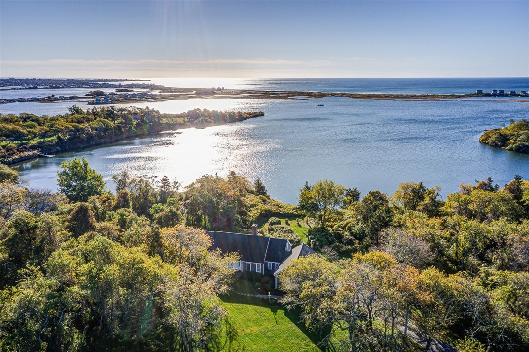
South Kingstown, Rhode Island (ZIP 02879) is the largest municipality by land area in Washington County, featuring a median home price of $595,000. Home to the University of Rhode Island, historic Wakefield, and pristine coastal villages like Matunuck and Green Hill, South Kingstown offers diverse residential options near Atlantic ocean beaches.
Community Metric | South Kingstown Data |
|---|---|
ZIP Codes & County | 02879, 02881 / Washington County |
Median Single-Family Home Price | $595,000 |
School District & University | South Kingstown School Department / University of Rhode Island (URI) |
Key Coastal Villages | Wakefield, Peace Dale, Kingston, Matunuck, Snug Harbor, Green Hill |
Search South Kingstown ListingsContact an Agent
A vibrant coastal town uniting historic villages, university culture, and ocean beaches.
Spanning 57 square miles across southern Washington County, South Kingstown is Rhode Island's largest town by total land area. Incorporated in 1723, the community comprises several distinct villages, including commercial Wakefield, industrial Peace Dale, academic Kingston, and maritime villages along the Atlantic coast like Matunuck and Snug Harbor.
South Kingstown serves as a regional center for southern Rhode Island, balancing academic energy from the main campus of the University of Rhode Island in Kingston with coastal living along Point Judith Pond and Atlantic oceanfront beaches.
With convenient connectivity via U.S. Route 1, Route 138, and the Kingston Amtrak Station, residents maintain direct transit links north to Providence (30 miles) and west toward New York City and Boston.
Historic Downtown Wakefield
A walkable village center along the Saugatucket River featuring local boutiques, independent dining, craft breweries, and community arts venues.
Matunuck & Coastal Beaches
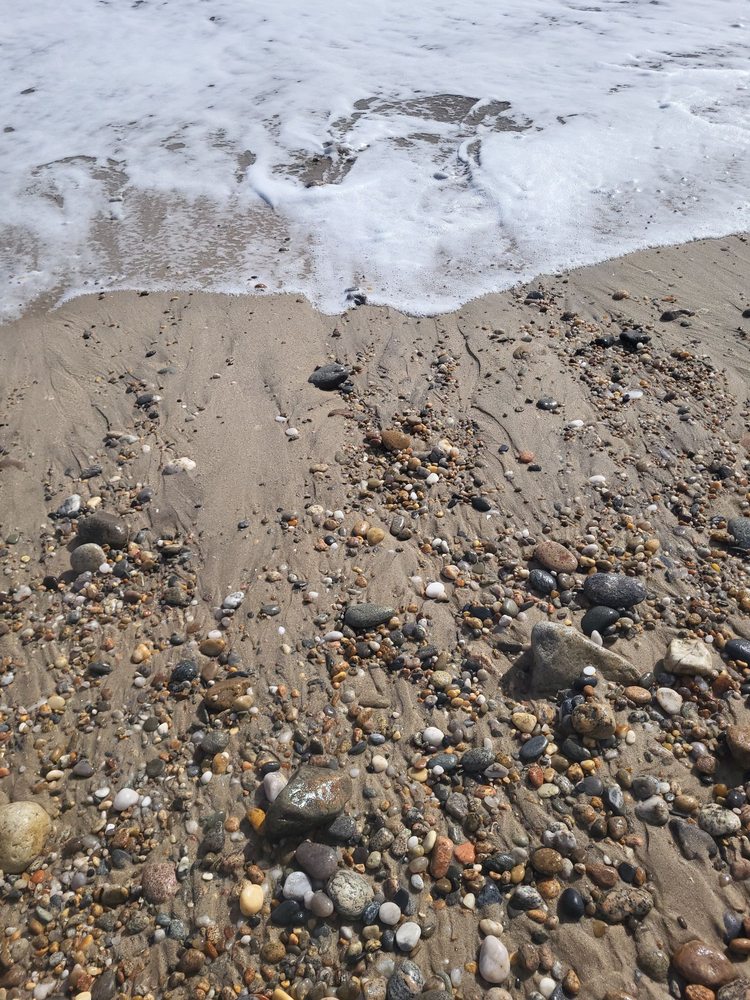
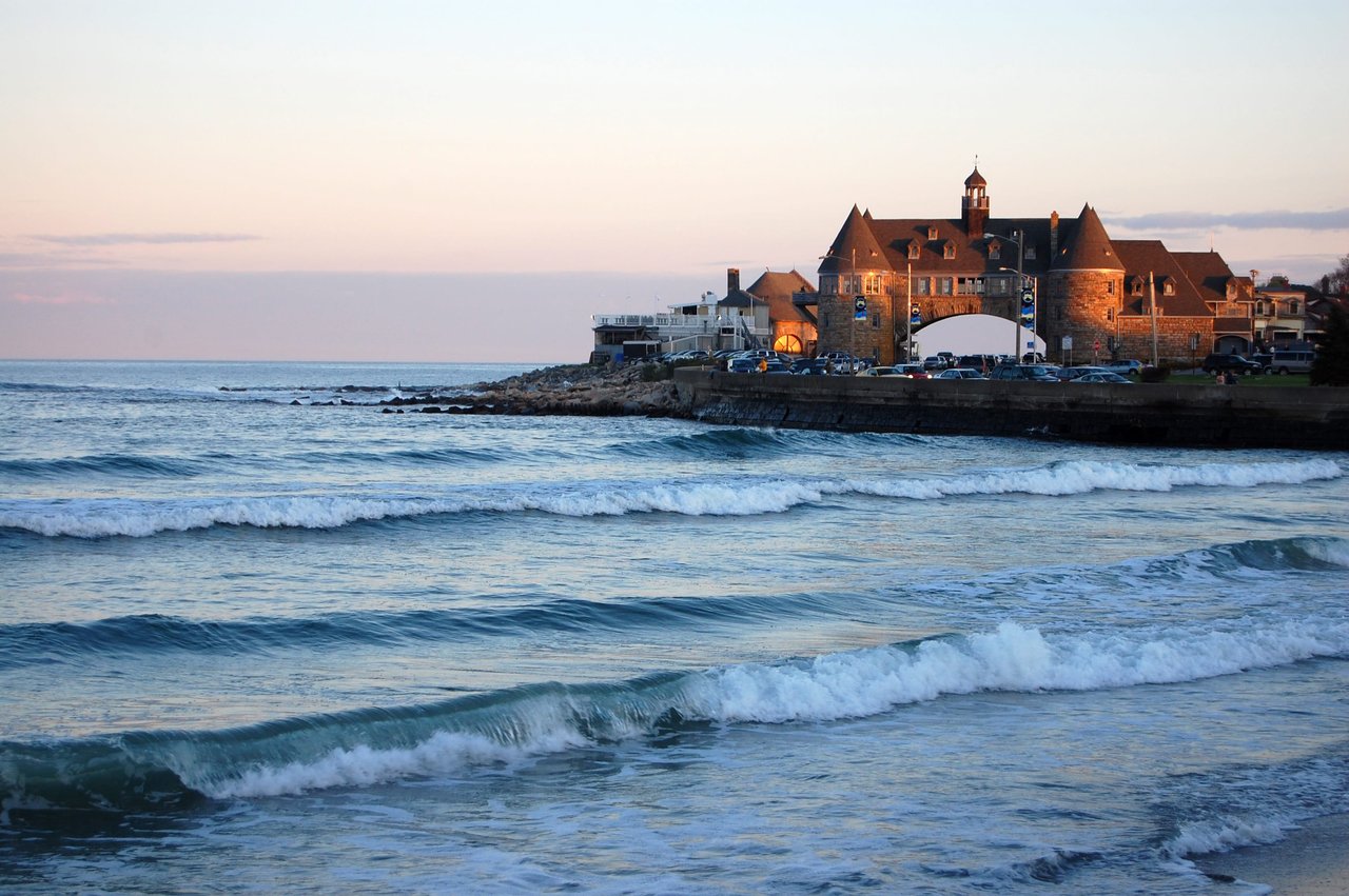
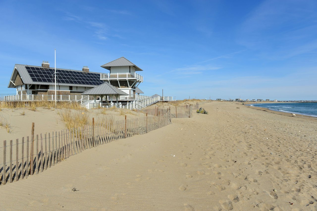
South-facing Atlantic shoreline offering public ocean access at Roy Carpenter's Beach, Matunuck Beach, and nearby East Matunuck State Beach.
University of Rhode Island
Major public research university providing cultural lectures, NCAA Division I athletics, research opportunities, and vibrant campus events.
South County Bike Path
Paved 7-mile recreational trail connecting the Kingston Train Station through Peace Dale and Wakefield to Narragansett.
Life in South Kingstown reflects a mix of coastal recreation, agricultural heritage, and university activities. According to U.S. Census data, South Kingstown has a population of approximately 31,900 residents with a median household income exceeding $98,000.
Community life revolves around local village centers, coastal ponds, and public nature preserves. Neighborhoods range from historic Victorian homes in Peace Dale to suburban single-family developments near Kingston and custom waterfront estates along Green Hill Pond.
South Kingstown features diverse culinary, shopping, and entertainment options concentrated along Main Street in Wakefield and coastal corridors:
Outdoor enthusiasts in South Kingstown enjoy freshwater ponds, tidal estuaries, and ocean beaches:
Public primary and secondary education is administered by the South Kingstown School Department, operating four elementary schools, Curtis Corner Middle School, Broad Rock Middle School, and South Kingstown High School.
Higher education is anchored by the University of Rhode Island (URI) in Kingston, which enrolls over 17,000 undergraduate and graduate students. *Note: School attendance boundaries can vary; home buyers should verify school zoning directly with municipal education authorities.*
The South Kingstown real estate market provides diverse options, ranging from village colonials and academic faculty housing to beachfront cottages and private waterfront compounds. Single-family home prices start around $450,000 for inland properties, while oceanfront homes in Matunuck and Green Hill command values exceeding $2,500,000.
To explore current market options and active property listings, home buyers can review updated regional property databases.
Browse Homes for Sale in South Kingstown
South County Advisory Team: Edge Realty International
Edge Realty International provides real estate buyer and seller representation across South Kingstown, Wakefield, Matunuck, and Washington County. For personalized neighborhood analysis or listing tours, contact our local agent team.
Sources: Demographic figures verified via U.S. Census Bureau QuickFacts (South Kingstown town, RI). Property pricing data sourced via Rhode Island Statewide MLS market records.
South Kingstown is located in Washington County (commonly referred to as South County), Rhode Island, along the southern coastal region of the state.
The median single-family home price in South Kingstown is approximately $595,000, with property values varying based on proximity to historic Wakefield or Atlantic oceanfront beaches in Matunuck.
South Kingstown includes several distinct villages: Wakefield, Peace Dale, Kingston, Matunuck, Snug Harbor, Green Hill, West Kingston, and Tuckertown.
Yes, the primary undergraduate and graduate campus of the University of Rhode Island (URI) is located in the historic village of Kingston within South Kingstown.
South Kingstown is approximately 30 miles south of Providence (a 35-minute drive via Route 1 and I-95) and roughly 75 miles south of Boston, accessible via Amtrak service from the Kingston Station.
South Kingstown has 11,363 households, with an average household size of 2.33. Data provided by the U.S. Census Bureau. Here’s what the people living in South Kingstown do for work — and how long it takes them to get there. Data provided by the U.S. Census Bureau. 32,005 people call South Kingstown home. The population density is 568 and the largest age group is Data provided by the U.S. Census Bureau.
Total Population
Population Density Population Density This is the number of people per square mile in a neighborhood.
Median Age
Men vs Women
Population by Age Group
0-9 Years
10-17 Years
18-24 Years
25-64 Years
65-74 Years
75+ Years
Education Level
Total Households
Average Household Size
Average individual Income
Households with Children
With Children:
Without Children:
Marital Status
Blue vs White Collar Workers
Blue Collar:
White Collar:
There's plenty to do around South Kingstown, including shopping, dining, nightlife, parks, and more. Data provided by Walk Score and Yelp.
Explore popular things to do in the area, including ButterHead Food Truck, Whaley Farm Market, and Providence Bay Fish.
| Name | Category | Distance | Reviews |
Ratings by
Yelp
|
|---|---|---|---|---|
| Dining | 0.93 miles | 6 reviews | 5/5 stars | |
| Dining · $ | 1.66 miles | 8 reviews | 4/5 stars | |
| Dining | 2.41 miles | 0 reviews | 0/5 stars | |
| Dining | 2.71 miles | 0 reviews | 0/5 stars | |
| Active | 0.34 miles | 1 review | 5/5 stars | |
| Active | 0.55 miles | 1 review | 4/5 stars | |
| Active | 1.88 miles | 1 review | 4/5 stars | |
| Active | 1.89 miles | 0 reviews | 0/5 stars | |
| Active | 1.89 miles | 0 reviews | 0/5 stars | |
| Active | 1.9 miles | 6 reviews | 1/5 stars | |
| Active | 1.98 miles | 0 reviews | 0/5 stars | |
| Active | 2.15 miles | 0 reviews | 0/5 stars | |
| Active | 2.3 miles | 8 reviews | 4/5 stars | |
| Active | 2.35 miles | 0 reviews | 0/5 stars | |
| Active | 2.37 miles | 1 review | 4/5 stars | |
| Active | 2.46 miles | 2 reviews | 5/5 stars | |
| Active | 2.77 miles | 1 review | 5/5 stars | |
| Active | 2.77 miles | 6 reviews | 4.7/5 stars | |
| Beauty | 0.93 miles | 0 reviews | 0/5 stars | |
| Beauty | 0.93 miles | 0 reviews | 0/5 stars | |
| Beauty | 2.2 miles | 1 review | 5/5 stars | |
| Beauty | 2.82 miles | 4 reviews | 5/5 stars | |
|
|
||||
|
|
||||
|
|
||||
|
|
||||
|
|
||||
|
|